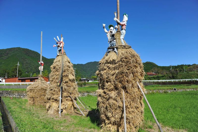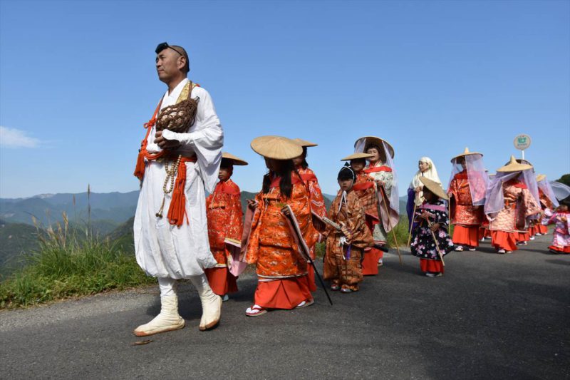
 Japanese
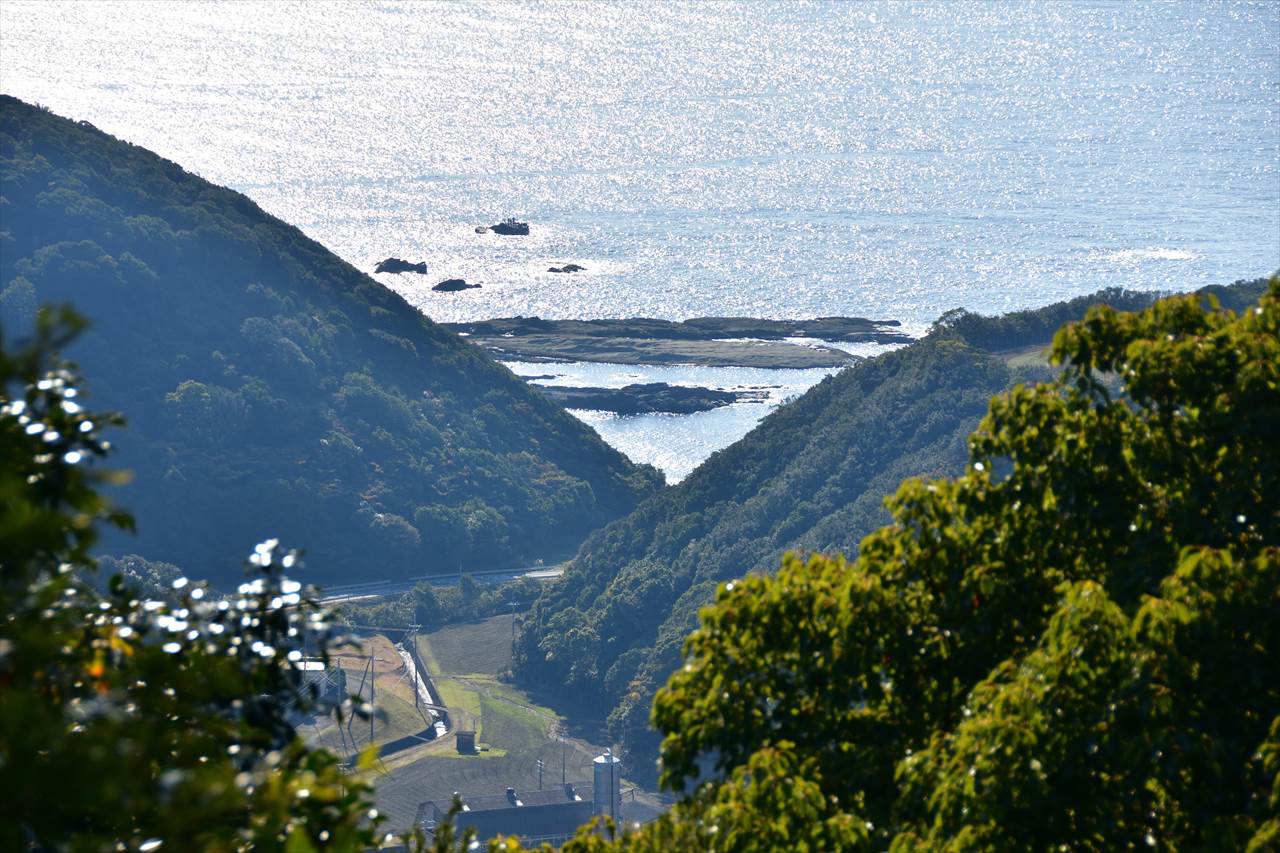
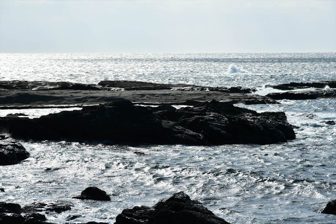
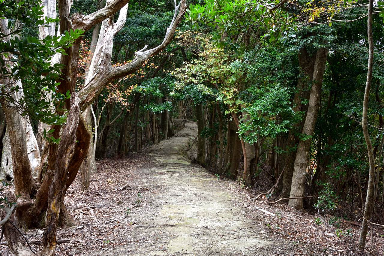
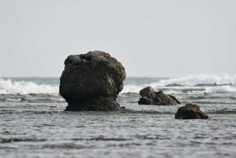
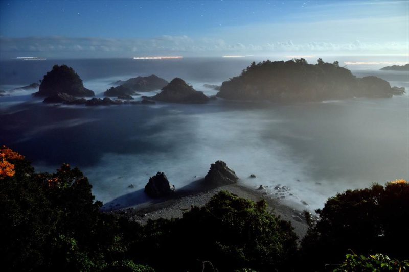
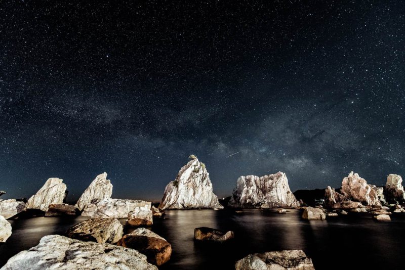
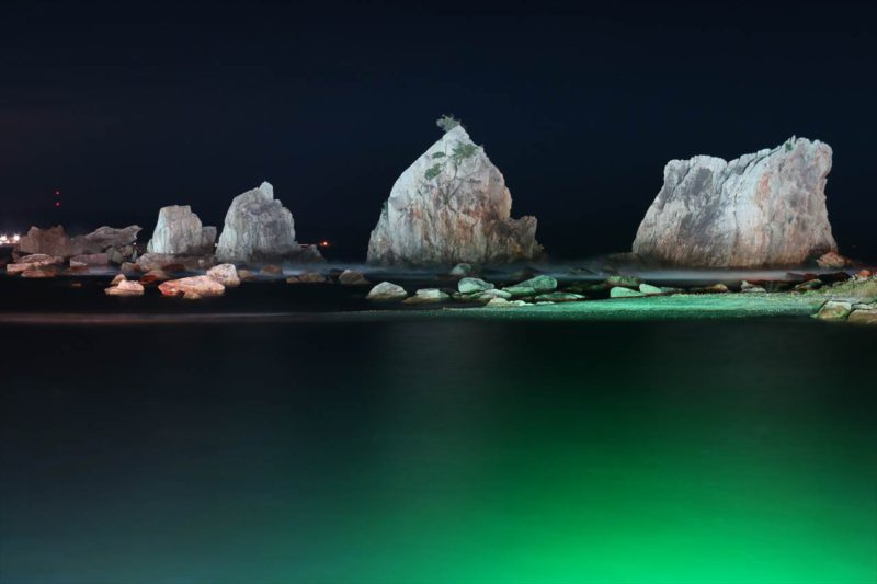
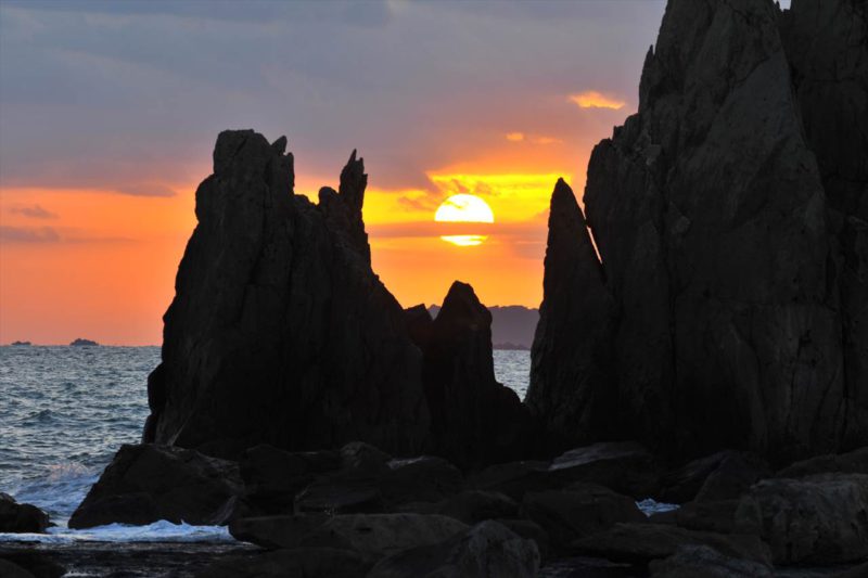
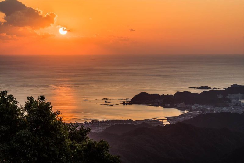
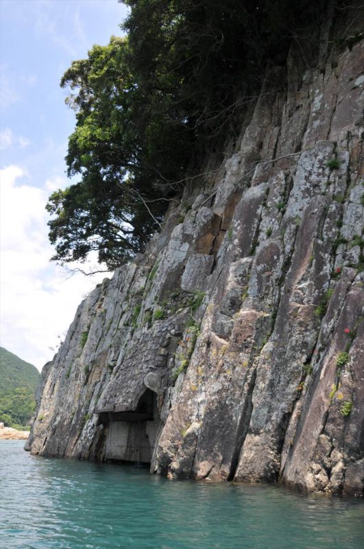
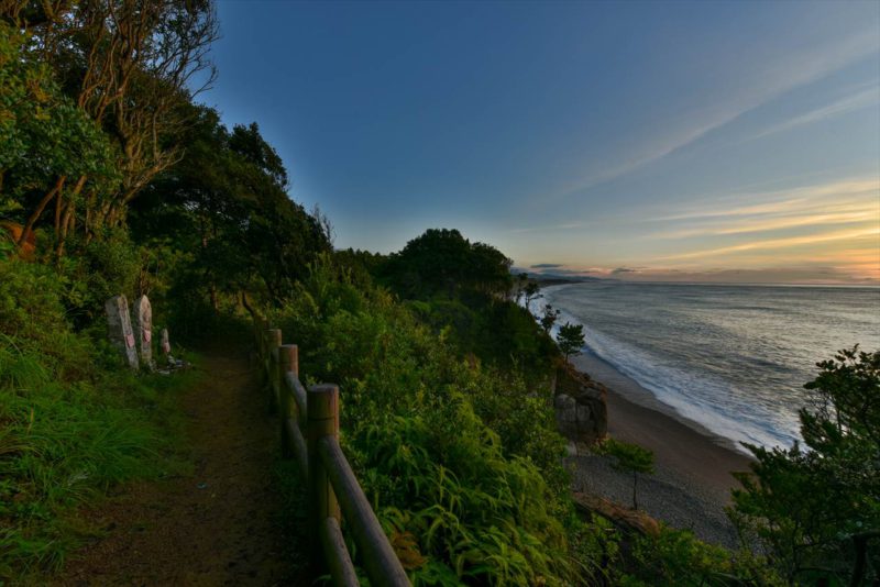
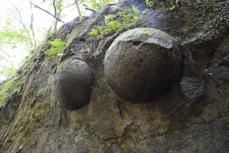
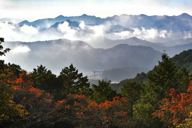
Bow-shaped Dike View from Kumano Kodo(Kodo-kara-miru Kojo-ganmyaku)
古道から見る弧状岩脈
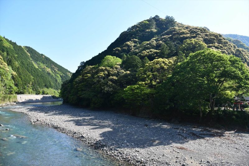
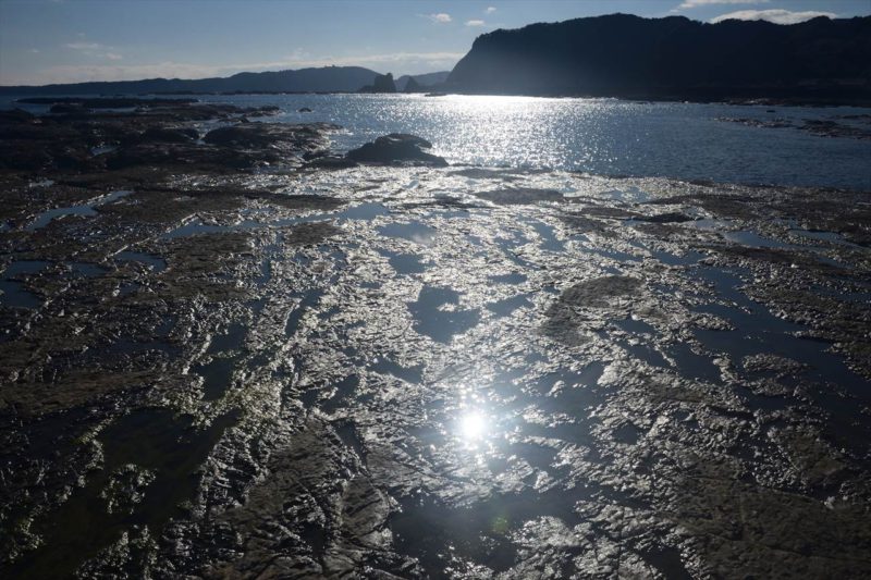
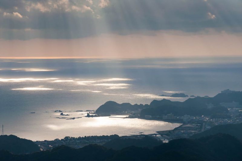
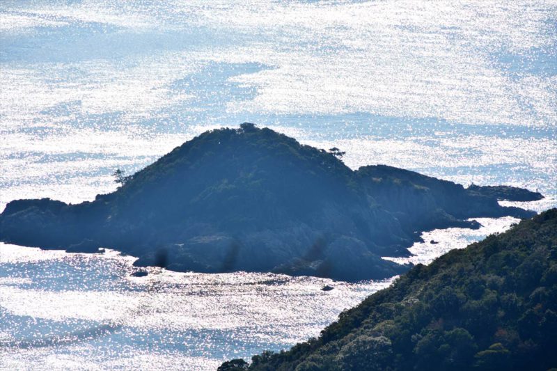
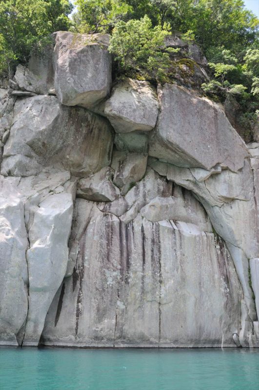
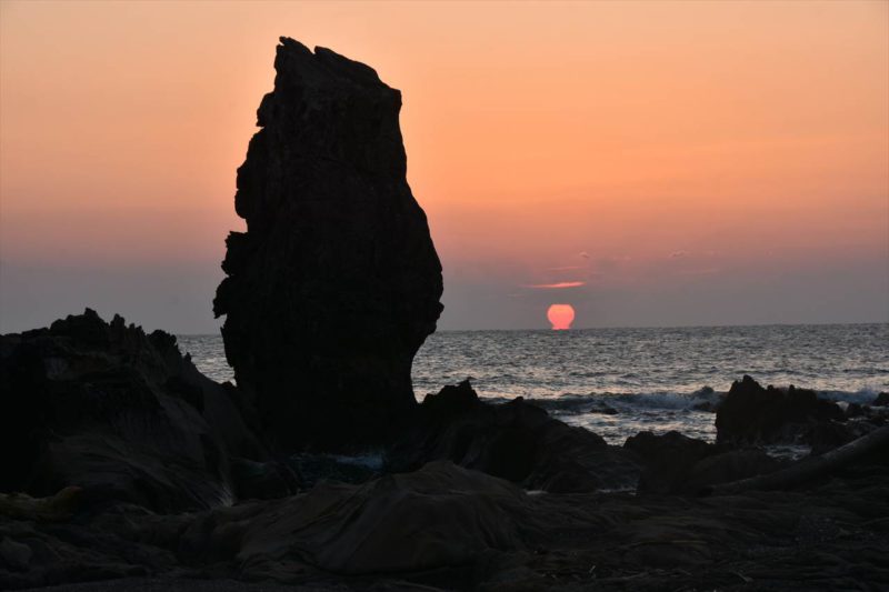
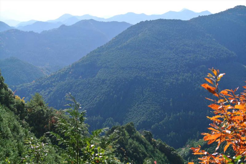
Bow-shaped dike at Karekinada coast viewed from Hanchiku
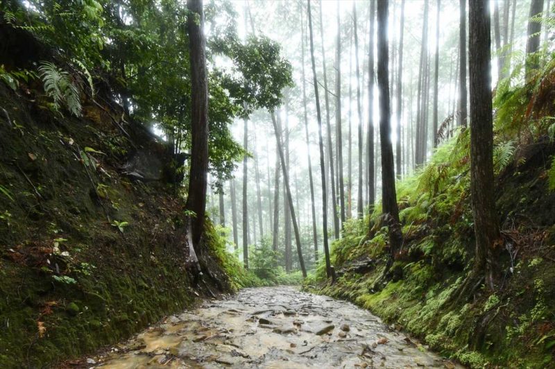
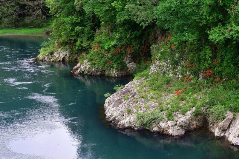
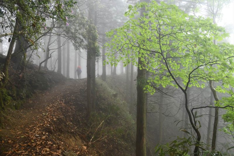
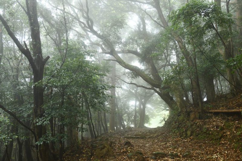
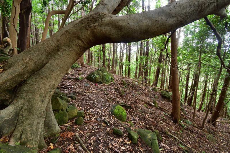
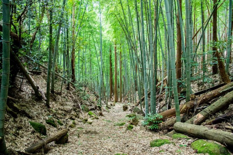
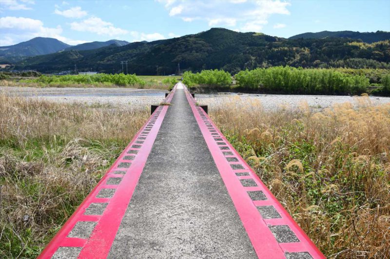
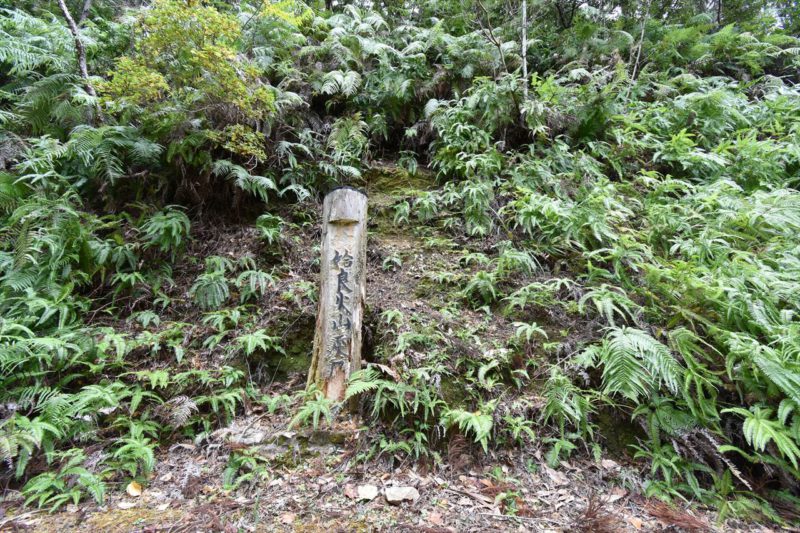
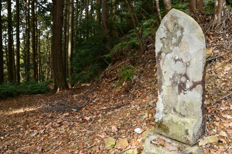
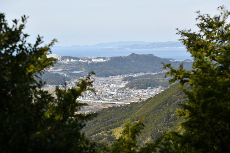
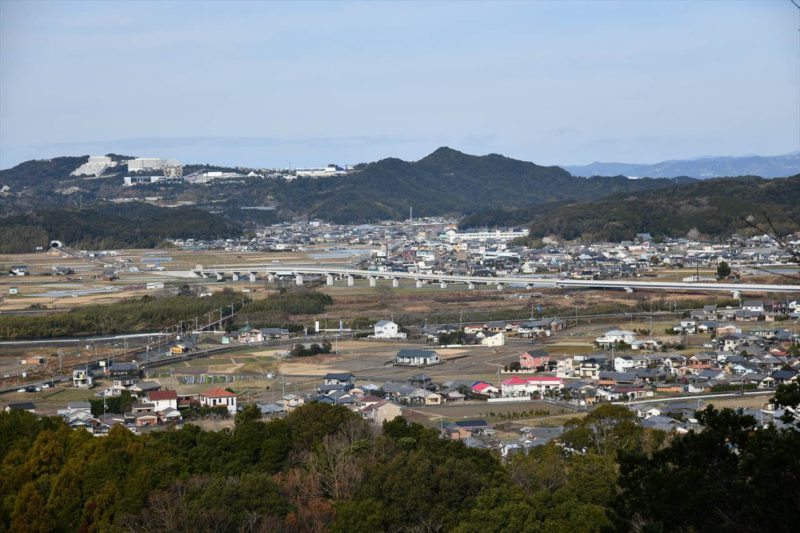
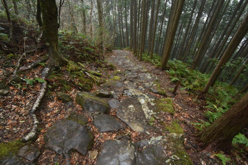
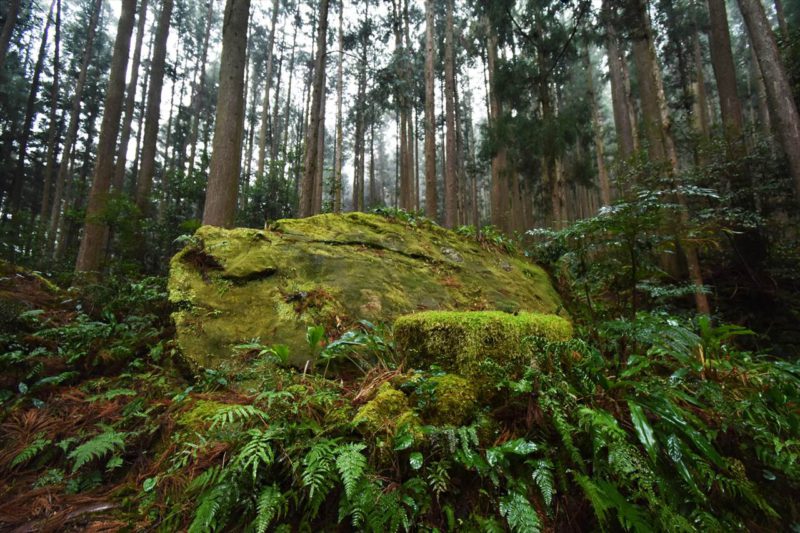
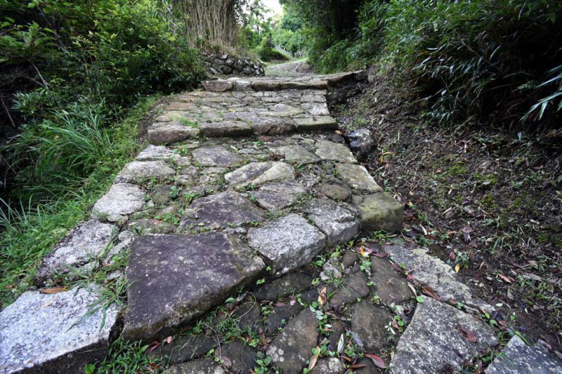
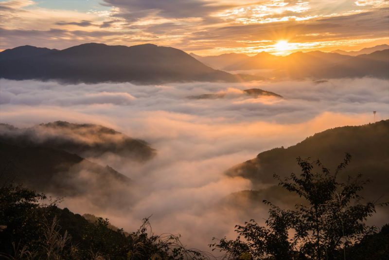
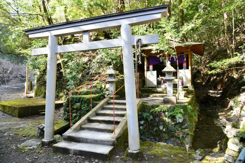
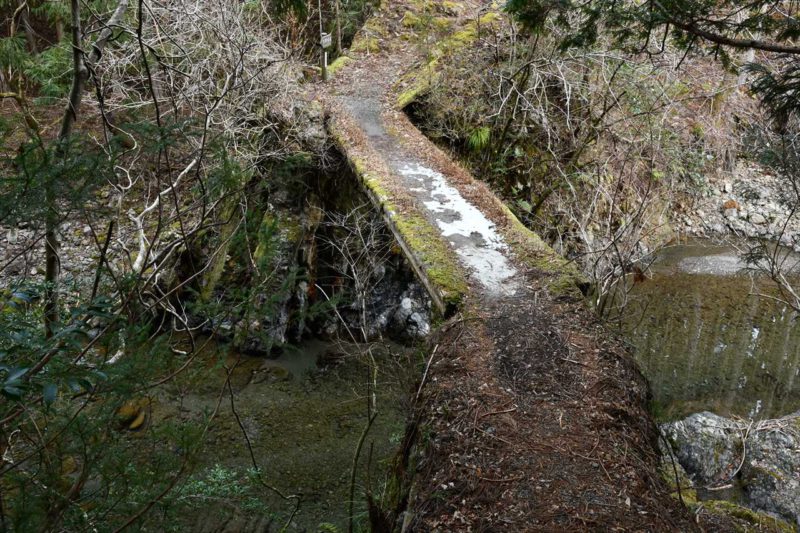
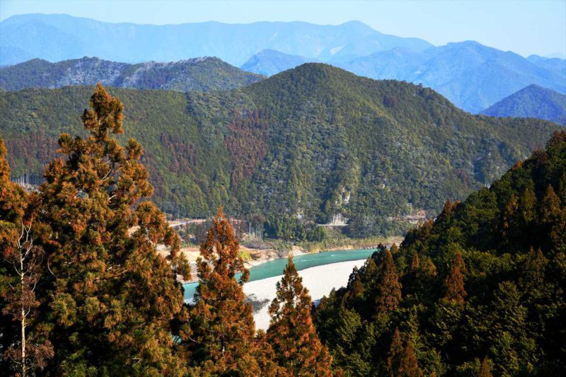
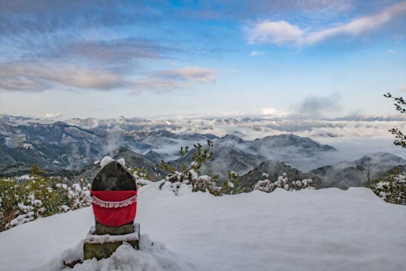
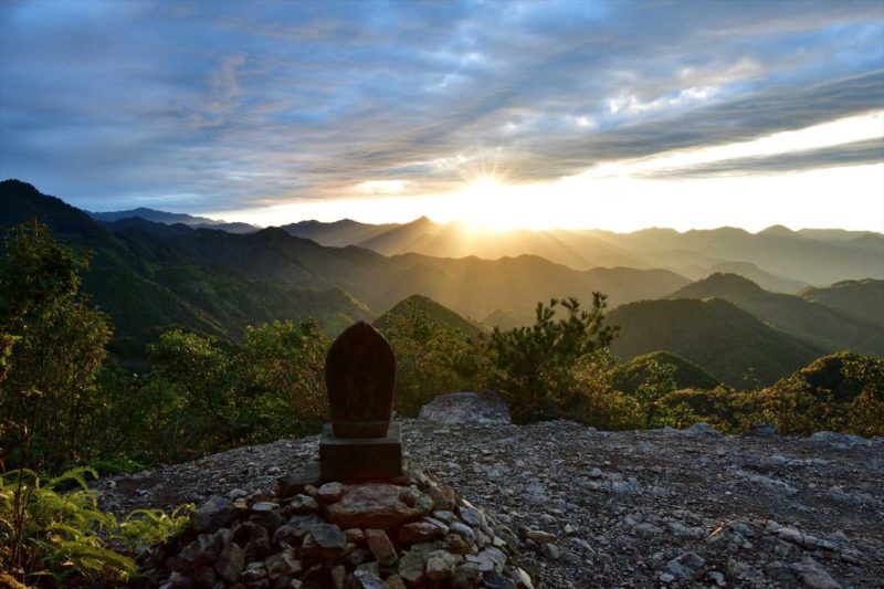
On the Nagai-zaka Slope, there is a Kodo trail called “Hanchiku” (rammed earth). It is considered that this trail was developed with an embankment to form a hilly land as a drainage divide and maintained on the same level in order to prevent the landslide due to rain. From the trail, visitors can overlook a part of the bow-shaped dike called “Takahama Senjojiki”.
Information
Municipality
Susami Town
Area
Mirozu, Susami Town
Season / Time zone
Spring Summer Autumn Winter /
Daytime
Weather conditions
Sunny Cloudy
Frequency of appearance
Year-round
Access
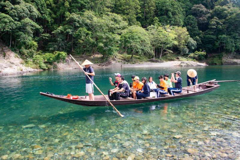
50 min. on foot from JR Mirozu Sta., 140 min. on foot from JR Susami Sta.